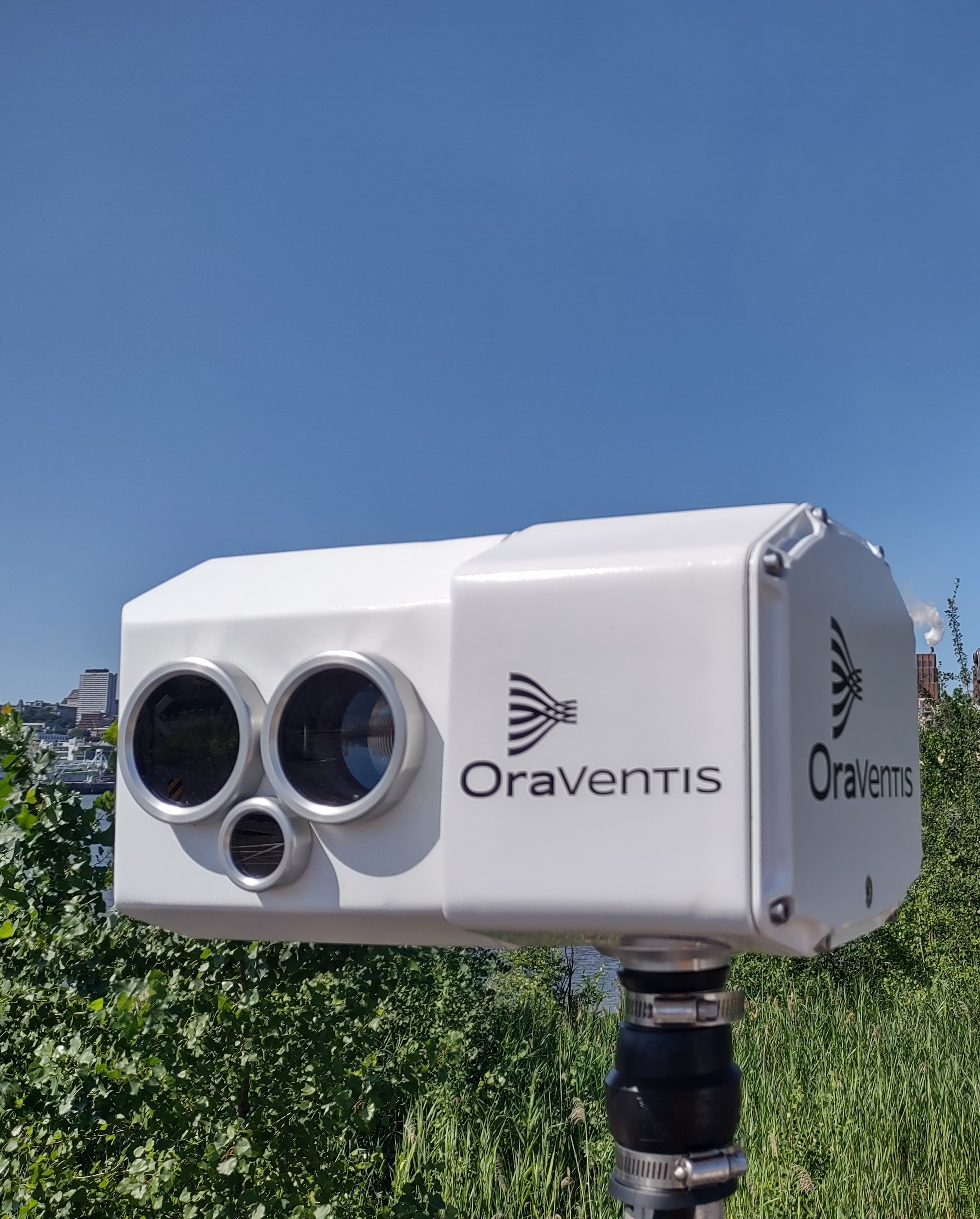
The OraVentis solution makes it possible to map dust concentrations using a LiDAR with the following features:
The OraVentis solution provides concentration values on a surface as if thousands of point sensors were deployed both on the ground and in the air. Thus, better representativeness in space is obtained using concentration maps and in time by renewing these maps once or twice per minute to proactively detect dust emission events. Also, alerts linked to event detection consider the concentration of dust, the extent of the cloud, its persistence or not over time, etc.
The alert system is not only dependent on the relative dust concentration maps provided by the LiDAR. Indeed, it also considers operating data and weather data. This makes it possible to take into account, in the generation of alerts, the wind direction, speed and variations, the relative position and type of potential sources and receiving environments, the relative humidity level, operating parameters, type of material handled.
Therefore, the spatiotemporal representativeness of LiDAR maps is combined with the operation context in an automated system to support the decision-making process. Thus, the solution generates relevant alarms.

OraVentis offers tools that optimize monitoring networks for fugitive emissions of atmospheric contaminants. Our technology, developed largely by the National Institute of Optics (INO), is based on the use of lidars and offers better space and time representation of emission phenomena. We stand out for the quality and relevance of the information we generate compared to solutions using point sensors.
